Another Round Of Rain Overnight
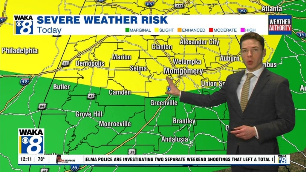
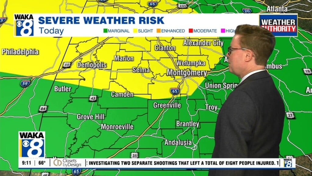
A frontal boundary makes its way into the state overnight. Another round of showers and a few storms push through just ahead of the front. We’re on the backside of the boundary Friday morning. Winds become northwesterly allowing drier air to spill into the area. Clouds depart and we’re looking a full sunshine throughout the afternoon hours. Slightly cooler air does work into the region Friday night into Saturday morning. Temps will fall into the upper 40s to lower 50s early Saturday morning. Abundant sunshine is on tap for the rest of the day and that should help send temps back into the upper 70s to lower 80s Saturday afternoon. The warm up continues into Sunday and early next week. Temps will top out in the lower to mid 80s for highs. A weaker system will graze us on Monday. A few showers can’t be ruled out but most spots remain dry. A stronger frontal system will push through the region Wednesday into Thursday. This will be our next round of rain and storms. Looks like dry and cooler air follows just in time for that following weekend.


