Unseasonably Warm For Late December
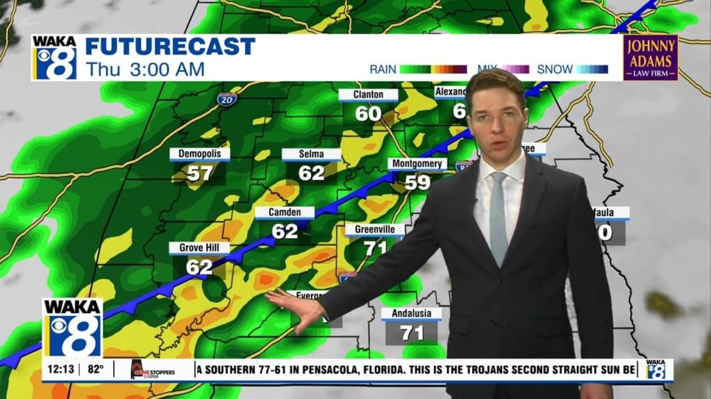
High pressure continues to be the main weather feature over the deep south. It’s providing us a warm southwesterly wind flow and that’s sending temps into the 70s for highs. We expect the high pressure ridge to maintain its grip over us through at least the middle of next week. Temps could actually nudge 80 degrees either Monday or Tuesday. The ridge begins to break down and move farther to our east around Wednesday. This allows a frontal boundary to head into the region. Showers are likely to begin moving into the state and thunderstorms are likely Wednesday into Thursday. There’s the potential a few storms could be strong at times. We will keep you posted on this threat and let you know if a severe storm threat comes into play. In the mean time, its an unseasonably warm weather pattern that makes getting through these winter days a little easier.


