Rather Warm For December Standards
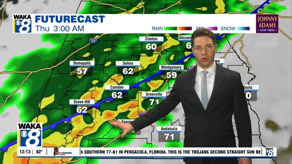
An unseasonably warm weather pattern is in play across the deep south. Upper 70s to lower 80s are likely for high temps through the middle of this week. High pressure positioned southeast of us is helping to maintain this break from the norm. A southwest wind flow has established itself and that’s typically a warm setup for us. It’s also keeping a steady flow of clouds across our skies. We see the high pressure system breaking down and moving farther east of us. As a result, we will need to introduce a chance of showers into the forecast for Tuesday. Rain and storms are more likely Wednesday into Thursday. It’s storm development ahead of a frontal boundary. Some of the storms could be strong and possibly severe. The main threat would be strong to damaging winds. The active weather pattern continues on into the latter half of the week into the upcoming weekend. More rain is likely and another round of storms could be threatening late Saturday into Sunday. There’s a hint we’re shifting into some colder air heading into that first week of the new year.


