Trending Wet & Stormy This Week
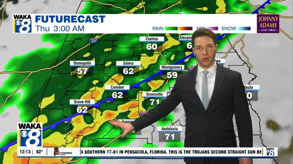
No change in this unseasonably warm weather pattern we’re in for now. Southerly breezes continue to provide warmth with well above average high temps. We expect the upper 70s to lower 80s to hang around through the rest of the week and into the upcoming weekend. High pressure positioned over Florida is helping to maintain this rather spring-like setup over us. It holds on for a few more days before releasing its grip and moving farther to our east. As it does this, moisture begins to increase and we’re seeing scattered showers develop. A few will be around Tuesday but a better chance of rain and storms moves into the area Wednesday. It’s development ahead of a frontal boundary entering into the the deep south. It helps kick off a round of storms that could become strong and possibly severe Wednesday afternoon into early Thursday. The main threat will be damaging winds but a tornado can’t be ruled out as well. The active weather pattern continues into Friday and the weekend. Another round of strong to possibly severe storms will be likely Saturday into Sunday. Damaging winds and a few tornadoes can’t be ruled out with this round as well. A shift towards much colder conditions is ahead for early next week.


