Severe Storm Threat This Weekend!
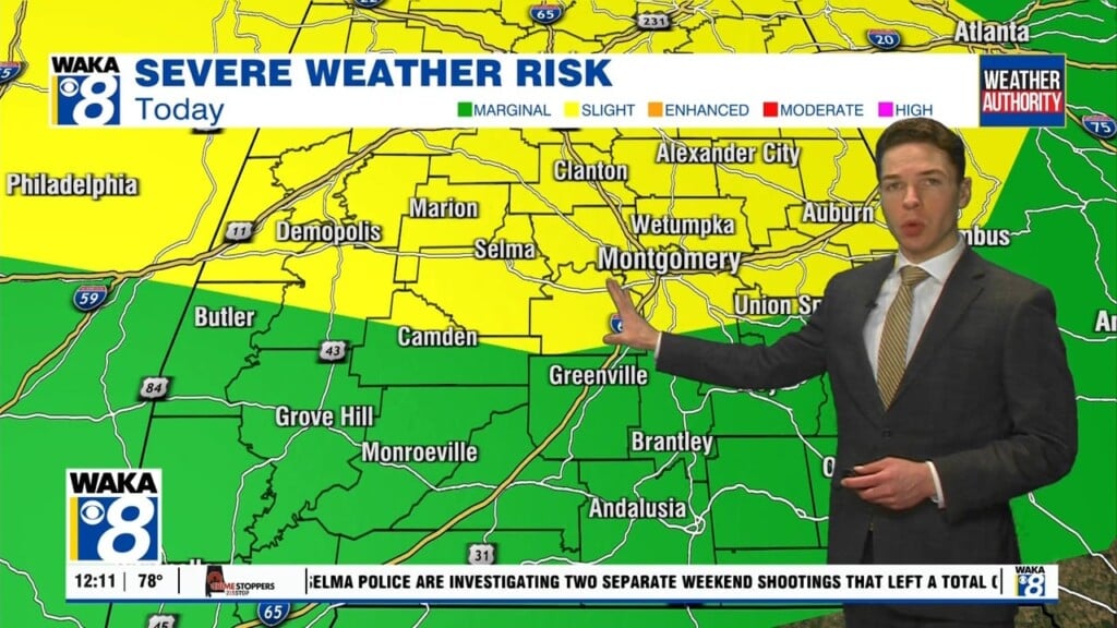
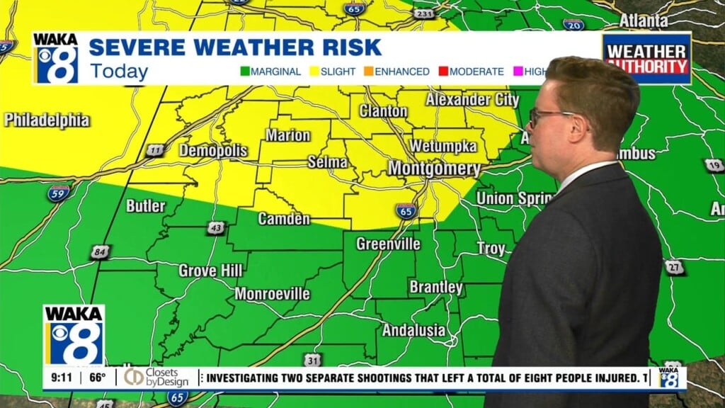
Our unseasonably warm weather pattern continues into Saturday but significant changes are ahead for Sunday. A strong cold front will enter the deep south Saturday and push eastward through the state. Temps warm into the lower 80s ahead of the boundary. A few showers may dot the landscape through the day but the main event holds off until Saturday night. Rain and storms enter our western counties late evening and work eastward through the area into the early morning hours of Sunday. Some storms will be strong and possibly severe. All modes of severe storms are likely with this system. We expect storms to be capable of damaging winds, hail, frequent lightning, heavy rainfall, and tornadoes. These threats will linger into the early half of Sunday. On the backside of the boundary will be much colder air. It will spill into the area on northwesterly winds. Temps will fall throughout the day and already be in the 40s by late afternoon. Skies clear and temps fall into the upper 20s early Monday morning. it’s the beginning of a colder weather pattern that settles in for a few days.


