An Active Weather Pattern Late Week
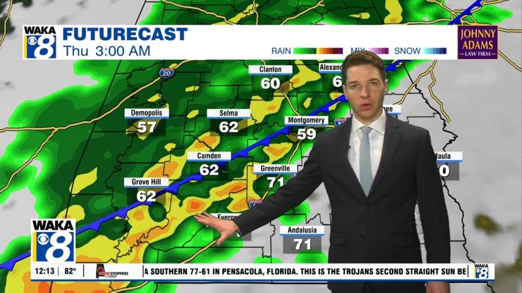
High pressure is helping to keep our weather rather quiet for now. The ridge does move a little farther east of us Wednesday but it sets up a southerly wind flow and temps respond. This will be the warmest day of the week for us. Mid to upper 60s are likely throughout the area. A cold front heads into the deep south Wednesday into Thursday. Rain along with a few storms are expected overnight Wednesday into Thursday. At this point, we don’t see anything too strong or severe. Cold air will spill into the area behind the precipitation. We always have to watch that closely this time of the year. Some of the forecast models are throwing out wintry precipitation potential but that may stay far to our north and west. Stay tuned for updates on this as the week progresses. One things for certain, we go colder and it stays that way through the weekend. We’re expecting sunshine but temps will only manage upper 40s to lower 50s for highs and lows will hover around freezing. Looks like winter is here to stay for a while!


