Colder Air Heading Our Way
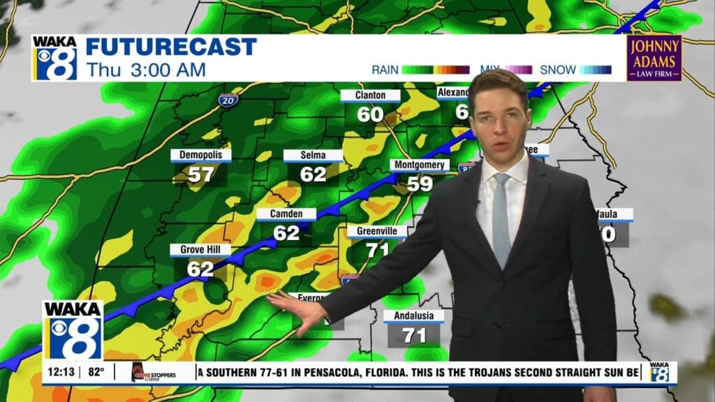
Our spring-like warmth is on the way out as a cold front makes its way into the area Saturday. The boundary will push through the state throughout the day. There doesn’t seem to be much precipitation coming with the front and we don’t really see any measurable rainfall for us. Temps will try and warm into the mid to upper 60s before the frontal passage but a steady drop is expected behind the boundary. Much colder air spills into the region and morning temps are heading into the upper 20s to lower 30s Sunday and Monday. High pressure will be moving back into control our weather early next week. Abundant sunshine will help warm us into the mid 60s Tuesday and lower to mid 70s by Wednesday. It’s a warm up ahead of another frontal system. This one will bring in a better opportunity for rain. It’s early but model data is hinting at a possible severe storm threat Thursday into Thursday night. Several days to watch this and make adjustments. In the mean time, Hope you can enjoy your weekend!


