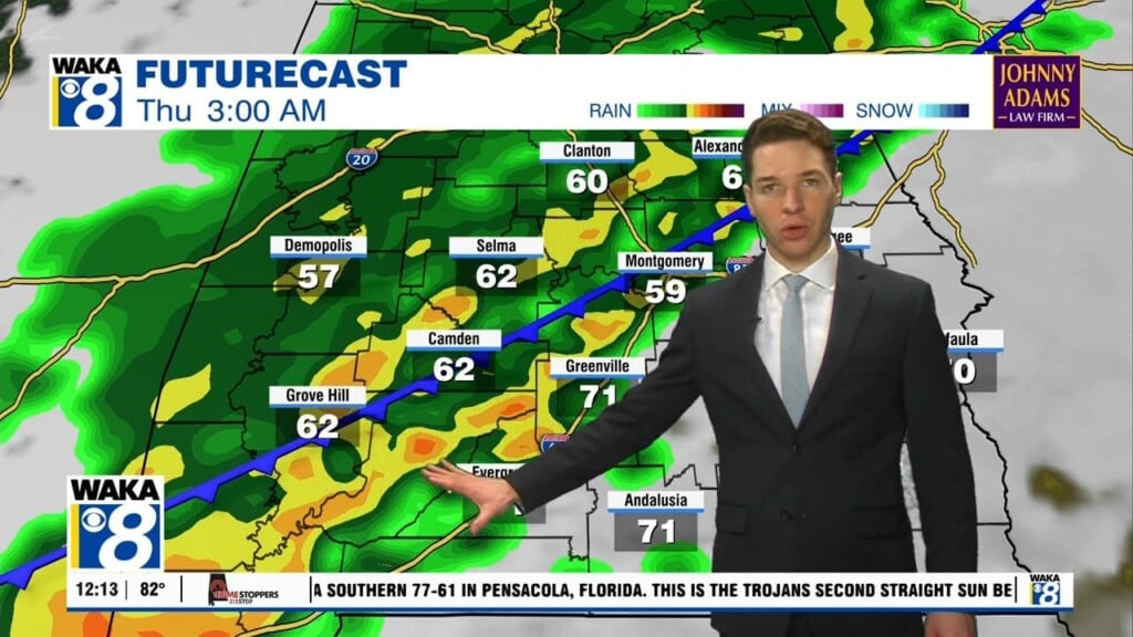
We’re on the backside of the cold front and this has brought an end to our spring-like warmth for now. Temps will actually settle closer to where they normally are this time of the year. It’s only for a few days as we see another warming trend coming our way next week. In the mean time, Saturday turns out to be a fairly decent day. We expect partly sunny skies with temps climbing into the mid 60s for highs. Another disturbance will move over the area bringing clouds and rain with it Sunday. This will also have an impact on temps and we’re only in the mid to upper 50s for highs Sunday afternoon. Rainfall with the system will be rather light with quarter of an inch or less expected. High pressure strengthens over us early next week. This will put us back into a sunny and dry weather pattern. Temps respond and afternoon highs return to the 70s. Looks like we will finish out next week with more spring-like warmth. Our next opportunity for rain will be creeping into the area that following weekend.


