Noon Update: Some Sunshine and Warmer Temps Today
Today will continue to be mostly cloudy, but warmer as our winds begin to shift out of a more southerly direction. A stray shower or two is possible, but these be widely spaced. Temperatures this afternoon, will be in the lower 70s.
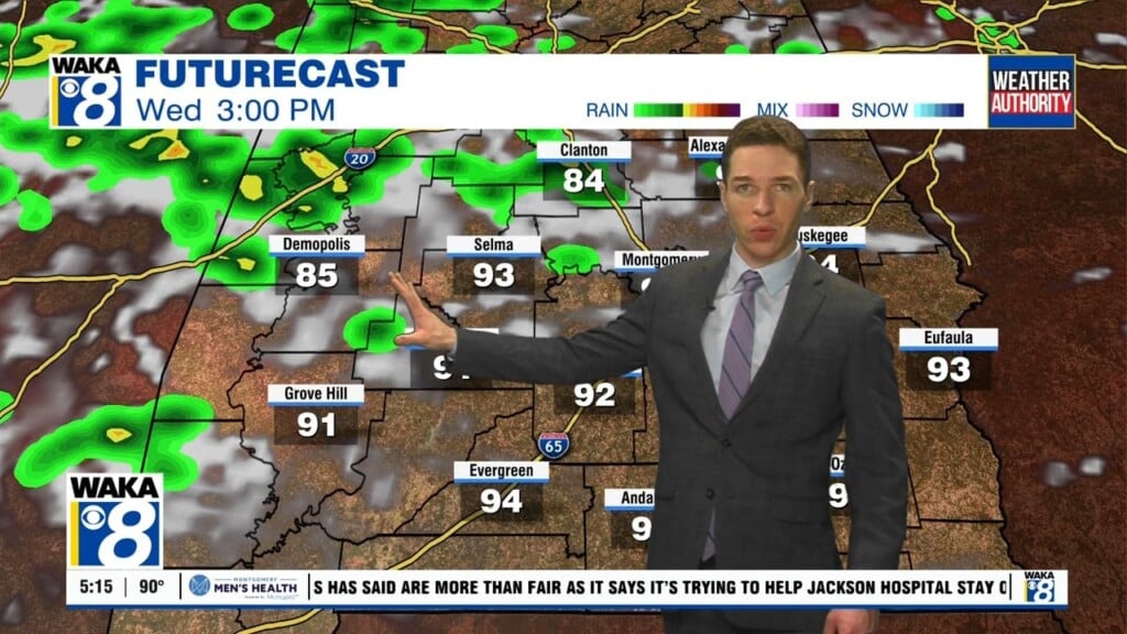
WARMING TREND CONTINUES: By midweek, spring warmth returns and highs will be in the lower 80s across South/Central Alabama. It will remain partly cloudy, with the risk for a few scattered showers during the day, but most of the rain will come Thursday with a slow moving front/upper trough. We are expecting some thunderstorms possible, Thursday, but at this point the risk of severe storms in the state of Alabama is low. The core severe weather risk this week will be west of our state across the Southern Plains and Lower Mississippi River Valley.
VERY NICE EASTER WEEKEND: Friday will feature a clearing sky with a high in the mid to upper 60s, and the weather rolling into Easter weekend continues to looks delightful. We are forecasting ample sunshine Saturday and Sunday with highs close to 70 Saturday, followed by mid 70s Sunday.
NEXT WEEK: Rolling into the first week of April, the Monday and Tuesday look dry, but by midweek a cold front will bring a risk of showers Wednesday, followed by another shot of drier air for the end of the week. The good news is that for now we see no severe weather issues during the week and we are not looking at cold air, but beware, we are still likely to deal with some freezing temperatures in the coming weeks.
Have a great day!
Ryan