Increasing Clouds Today, but When Does the Rain Arrive?
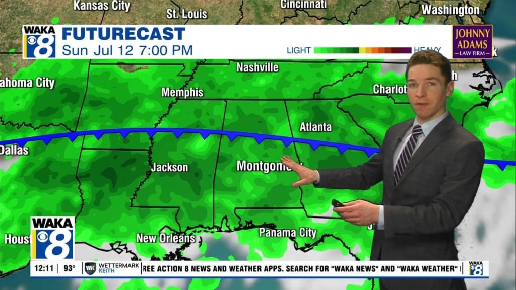
Clouds will be on the increase today as a wave of low pressure approaches from the southwest. This will allow for areas of light rain to overspread the state the next 24 hours. The sky today and tomorrow, will feature more clouds than sun, and it will be cooler as highs will be in the mid to upper 60s today, followed by upper 50s and lower 60s tomorrow. Limited moisture means rainfall amounts will be light, with most locations receiving less than one-quarter of an inch.
A GORGEOUS ALABAMA WEEKEND: Friday will feature a gradually clearing sky late in the day with highs in the upper 50s and lower 60s. For Saturday and Sunday, expect sunny mild days, and clear chilly nights. Highs Saturday will be in the upper 60s while low 70s are could return Sunday. Lows will drop into the upper 30s and lower 40s over the weekend.
NEXT WEEK: The weather looks fairly quiet with seasonal temperatures, highs mostly in the 70s and lows in the 40s. A cold front could bring some rain toward the end of the week on Thursday or Friday.
IN THE TROPICS: For the North Atlantic…Caribbean Sea and the Gulf of Mexico: The National Hurricane Center is issuing advisories on Tropical Storm Wanda, located more than 700 miles west of the Azores. Elsewhere, tropical cyclone formation is not expected during the next 5 days.
Have a wondrous Wednesday!!!
Ryan