Great Weather to Start to the Work Week
FANTASTIC FALL WEATHER: The first half of the workweek will feature brilliant weather across all of Alabama. The sky will be sunny today with afternoon highs reaching the low to mid-70s. Just a tad warmer on Tuesday as clouds will be on the increase by the afternoon. On Wednesday, the sky will be partly cloudy with highs in the lower to mid-70s.
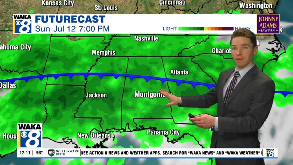
RAIN RETURNS: A cold front will be working its way toward Central Alabama on Thursday, and a few scattered showers during the evening and overnight hours. There may be a rumble of thunder or two, but strong to severe storms are not expected as there is simply no instability. Highs will be in the mid-70s. The front continues to push through the area during the morning hours on Friday, and by the afternoon, much of the shower activity will have moved out of the area with only the extreme southern parts of South Alabama getting rain. Highs will be closer to 70° Friday afternoon
BIG WEEKEND CHILL DOWN: A big chill down will occur after the front passes through Central Alabama. The sky will be mostly sunny on Saturday with highs struggling to reach 60°s. Not much warmer on Sunday as highs will be in the lower 60s, despite a sky full of sunshine.

IN THE TROPICS: A non-tropical low pressure system with storm-force winds is located a couple of hundred miles southeast of Cape Hatteras, North Carolina. This system is forecast to move east-northeastward during the next several days, and it could gradually lose its frontal characteristics by the middle of this week over the subtropical Atlantic Ocean. Thereafter, the low could acquire some subtropical characteristics while it moves eastward or east-northeastward over the open waters of the central Atlantic Ocean. Formation chance through 5 days…low…20 percent.
Have a great day!!!
Ryan