You Could See A Shower Or T-storm Soon
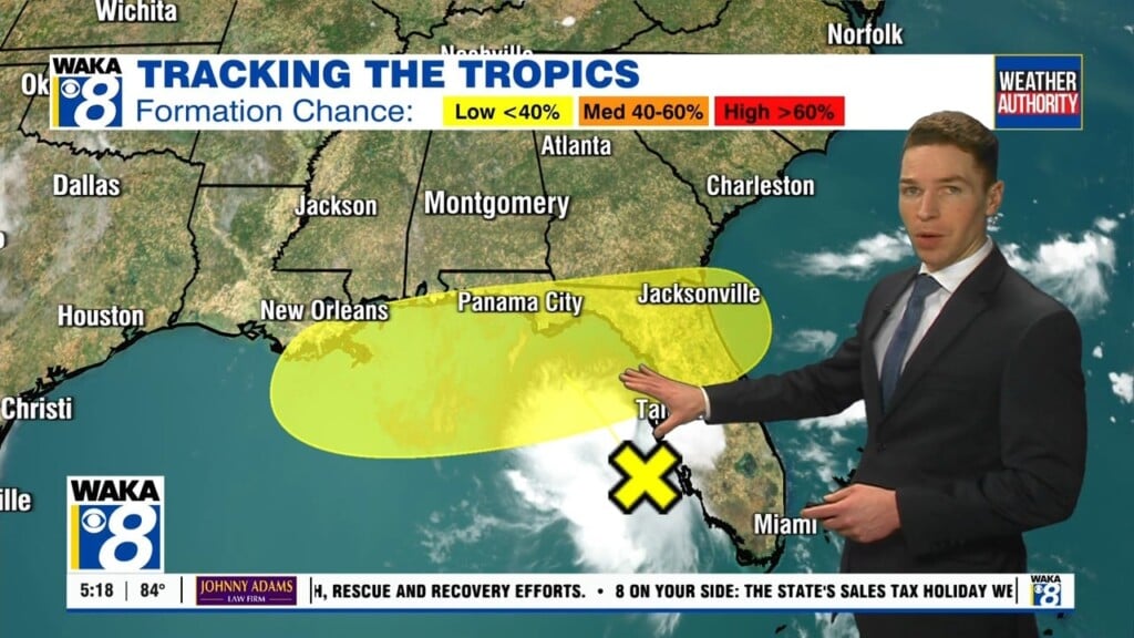
We’re about to transition into a little more active weather pattern starting Friday afternoon. Scattered showers and t-storms will be developing around the area. Rain activity will stick around for Saturday and there’s more ahead for next week. It doesn’t look like a drought buster but at least we have some rain on the way.
In the mean time, you can expect a mostly clear sky with temps dropping into the mid to upper 50s overnight. Friday is looking mainly sunny with temps climbing into the lower to mid 80s for highs. There will be scattered showers and possibly t-storms developing in our western counties. We expect more showers and t-storms to push eastward through our entire area during the late evening and overnight hours.
A frontal boundary will push closer to the region during the upcoming weekend. Moisture will be available and we’re expecting additional scattered showers and t-storms to develop. Some areas could pick up a .25 to .50 inch of rainfall. At this point, we don’t see anything particularly strong or severe over the weekend. It doesn’t look like we see much, if any rain around on Sunday.
We start out dry on Monday but another round of rain and t-storms moves into the area Tuesday. This area of rain and storms could be a bit stronger. It’s something we’re keeping an eye on and will keep you posted.
Click here for more news from WAKA.