Gulf Tropical Mischief Should Bring Higher Rain Chances
IN THE GULF: Disorganized showers and thunderstorms over the northern Gulf of Mexico are associated with a trough of low pressure. Gradual development of this system is possible if it can remain offshore while it meanders near the northern Gulf coast through the end of the week. Regardless of development, heavy rains will be possible along portions of the northern Gulf coast from Louisiana to the Florida Panhandle over the next several days. Formation chance through 5 days…low…30 percent. If this system were to develop it would be Danielle.

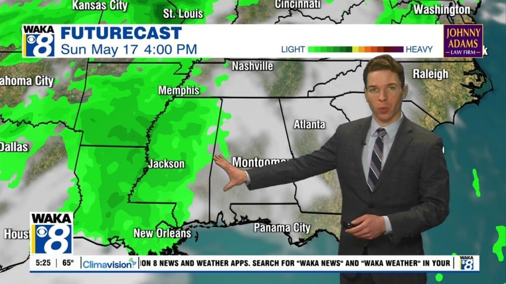
FOR ALABAMA: Today will feature a mix of sun and clouds with scattered showers and storms. Highs today should hold in the upper 80s for most locations. Tomorrow and Thursday will feature higher rain chances due to the system in the Gulf. We are forecasting numerous shower and storms both days with heavy rainfall would could lead to some areas of flooding. There is also a threat for strong storm to locally severe storms and the SPC has issued severe weather risk for tomorrow.

There is also a threat for storms on Thursday…

Of course with any tropical mischief in the Gulf, there could be big changes in the forecast in the coming days…Stay tuned.
FRIDAY AND THE WEEKEND: We will stick with routine summer forecast with partly sunny days, fair nights, and a few showers and storms around during the afternoon and evening hours. Afternoon highs not too far from 90 degrees as the core of the heat across the nation remains west of Alabama.
NEXT WEEK: The upper high will begin to nose in here, meaning slightly higher heat levels with highs in the 90-95 degree range most days. And, the usual risk of scattered, mostly afternoon and evening showers and thunderstorms on a daily basis.
Have an amazing Tuesday!!!
Ryan