Cold and Blustery Start to Week
WINTER IS BACK: A cold front moved through Alabama late Sunday, and in its wake, we start the week off cloudy, breezy, and cold, due to the northerly flow off of the backside of the departing low. Temperatures will hold in the mid-40s all day and with winds sustained at 15-25 mph, wind chills will be down in the 30s all day. Tonight, will be cold as lows fall to near freezing, and with winds still gusting, wind chills will be in the lower 20s much of the night.
SUNSHINE RETURNS: Tomorrow and Wednesday will be warmer with plenty of sunshine on each day. It will remain breezy tomorrow, but highs will approach the 50 degree mark. Wednesday’s highs return to the mid-50s.
RAIN RETURNS TO END THE WORK WEEK: While much of the day on Thursday will be dry, a low will be approaching the area along with a cold front ahead of a deepening trough that will bring clouds to the area and a stray shower possible before midnight. Highs will be in the upper 60s. Showers and maybe a rumble of thunder or two will be possible throughout of Friday and into Saturday. No severe weather is expected, but winds will be breezy at times gusting as high as 20 MPH. Highs will be in the 60s.
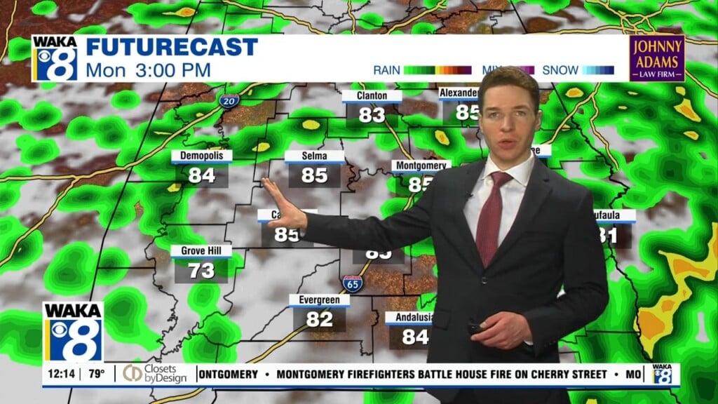
ANOTHER COLD SHOT: A cold front will move through Alabama on Sunday. After that, much colder and drier air will move into the area, especially on Sunday, where highs may occur at midnight with temperatures dropping through the day. Winds will be breezy on both days with gusts up to 20-25 MPH possible. Sunday’s highs in the mid-50s will likely occur early in the day. Expect freezing temperatures Monday morning with lows in the 20s, and highs Monday hold in the 40s.
Stay warm and have a Monday full of enchantment!!!
Ryan