Warmer Today, Rain Returns Tonight
Today will be dry but an approaching cold front will cause clouds to increase through the day and highs surge into the mid 60s. The front will bring rain to the state late tonight into Friday morning, with rain amounts less than 1/2 inch expected, and no severe storms, and likely no thunder. The rain ends early in the day Friday as the front pushes down to the Gulf Coast. Friday should feature a clearing sky and cooler temps with highs in the mid 50s. We will leave rain in the forecast across far South Alabama through the day tomorrow, as the front stalls near the Gulf Coast.
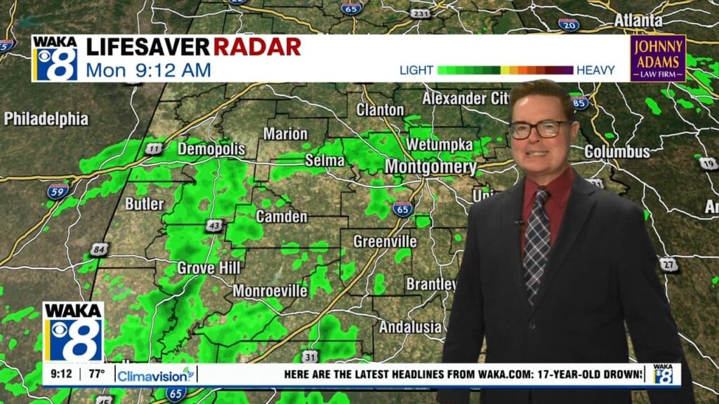
SATURDAY WEATHER: Saturday will start off dry and through the day we will see a mix of sun and clouds and highs in the mid 50s. We are still watching for a wave of low pressure to develop and track along the front to the south, which will produce clouds and showers for areas of South Alabama and the Gulf Coast late Saturday. This moisture will spread north late Saturday night and some areas of light rain are expected after midnight Saturday and into early Sunday morning, again no threat of severe weather.
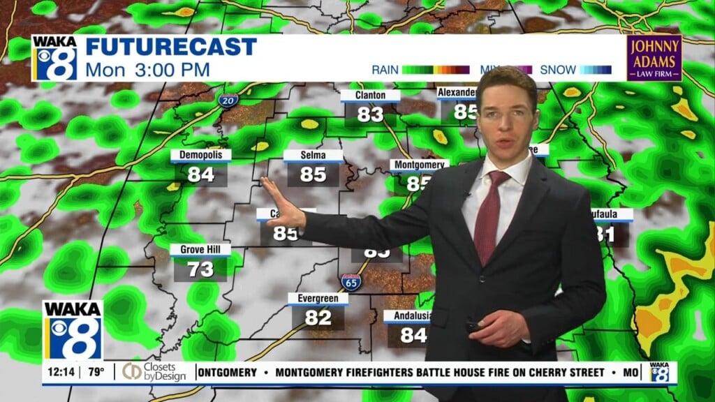
BIG FORECAST CHANGES FOR WEEKEND: The Arctic air invasion we expected will still occur as the coldest air of the winter flows into the United States, however, this air mass will slide east instead of south, so Alabama will be spared this go round as this bitterly cold air mass stays north and east of the state. Sunday will start off with scattered areas of rain, but we should see the rain end by the midday hours and highs will be in the upper 50s. Monday afternoon will feature more sun than clouds with highs in the mid 60s. The bitterly cold Arctic air looks to hold just north of Alabama as we start the week.
REST OF NEXT WEEK: Lots of model madness for the rest of next week, so forecast confidence is very low. For now, it appears the Arctic front will sag slowly south into the state for the second half of the week, which will allow for the much colder air mass to gradually flow into the state with each day being a bit colder than the previous one. Highs Tuesday and Wednesday should be remain in the 60s, with 50s expected to return Thursday and then colder perhaps Friday, with yet another chunk of Arctic air dropping south out of Canada for the following weekend. As far as rain, again not much confidence in the forecast, but there could be areas of precipitation at times through the week. Of course, stay tuned for updates in the coming days.
Be blessed and highly favored!!!
Ryan