For February, very warm weather this week; Rain returns by Friday
Clouds lingered across central and south Alabama early Monday morning. However, the sky was mainly sunny again by midday, and likely remains that way for the rest of the day. Temperatures warm to near 70° Monday. Monday night looks mainly clear with lows in the mid 40s. Some fog may develop, especially across southwest Alabama, early Tuesday morning.
Tuesday looks partly to mostly sunny, dry, and warm with high temperatures in the mid 70s. Clouds increase Wednesday, with stray, light showers possible here and there during the day. However, temperatures look even warmer, with highs in the upper 70s. Thursday looks like the warmest day this week, with high temperatures near 80° despite a partly to mostly cloudy sky, and passing stray, light showers.
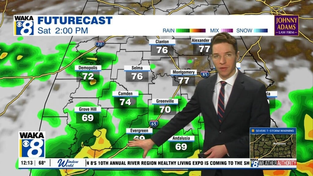
Rain returns in earnest Friday, as our next cold front approaches Alabama. Some storms appear possible too. However, rain coverage may remain somewhat scattered in nature, so this front may not bring widespread or soaking rain. The front may move through and south of our area this weekend, which may result in drier weather with some sunshine Saturday and Sunday.
However, cold air also returns behind the front. High temperatures range from the low to mid 60s Sunday. Sunday night lows fall to near 40°. Monday could be even cooler despite sunshine, with highs in the 50s to perhaps 60°. Monday night lows fall into the 30s. However, temperatures trend warmer again towards the middle of next week. Our area may remain dry for at least the first half of next week.


