Hot & Humid Conditions Settling Over The Deep South
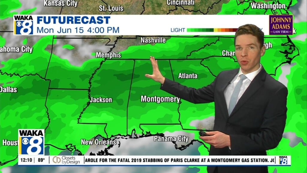
A typical hot and humid weather pattern will be settling in this week. Rain chances will be slim but those isolated showers and t-storms during the afternoon heating can’t be ruled out. Temps will be the issue with highs in the lower 90s for several days. Heat indices (what it will feel like) will hover around 100 throughout the latter half of the week.
In the meantime, we’re expecting a mostly clear sky with temps only falling into the lower 70s overnight. Wednesday is looking mostly sunny but a few spots could pick up a showers or t-storm. Clouds and rain activity will have an impact on the warming where storms occur. Most spots will see temps climbing into the lower 90s for highs.
The rest of the work week is looking typical for June. Our sky will look mostly sunny and temps heating up into the upper 80s to lower 90s for highs. Rain chances will be slim throughout the week but of course those isolated showers or t-storms can’t be ruled out during the late afternoon heating.
The upcoming weekend will include a bit more moisture over the area and that will provide the fuel for more of those afternoon showers and t-storms. Temps will continue to manage the upper 80s to lower 90s for highs.