Showers and Storms Remain in Forecast
[gtxvideo vid=”5ocg21Nv” playlist=”” pid=”2gxTqEDg” thumb=”http://player.gtxcel.com/thumbs/5ocg21Nv-120.jpg?cachebust=1462160615311″ vtitle=”5/1/16 Ryan 10PM Forecast”]
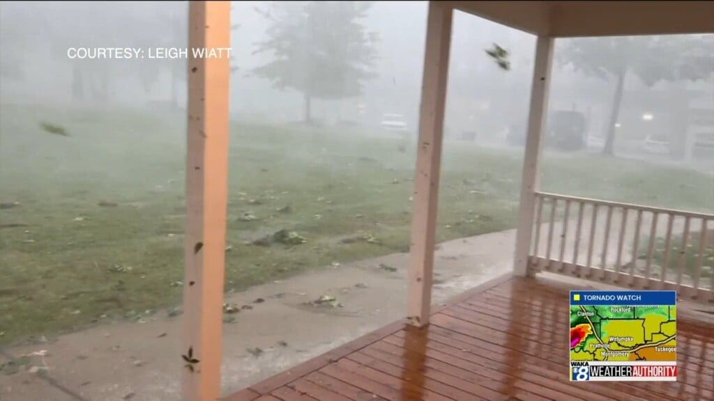
UNSETTLED WEATHER: We have been sort of locked into this weather pattern this past few days, and it looks to continue through Monday. For tomorrow, expect more in the way of scattered showers and storms, with temperatures in the lower 80s. Once again, much of Central Alabama has been highlighted for much of Central Alabama. Gusty winds, lightning, and hail are the greatest threats as well, but also storms could produce very heavy rainfall.
SPLENDID SPRING WEATHER: The upper level trough to our west begins to lift out early in the week, and that will allow for a change in our weather pattern, and therefore our overall weather. With a developing ridge to our west and a trough to the east, northwesterly flow is opening up and will be bringing cooler and drier into the state. The rain and storms will be exiting the state late Monday and early Tuesday as a cold front swings through the state. By Wednesday and the rest of the work week, afternoon highs will be well down in the 70s, and overnight lows will be down into the 40s and 50s. Certainly a refreshing air mass after the recent warm and muggy weather we have been dealing with across the state. These days should feature abundant sunshine as well.
MOTHER’S DAY WEEKEND: As of now, the weather looks to be fantastic across Alabama. We are forecasting plenty of sunshine and comfortable temperatures with afternoon highs in the upper 70s and lower 80s, while overnight lows will be in the mid and upper 50s. Our next chance of rain looks to arrive around Tuesday May 10th.


