Summer Continues Onward!
90+ degree heat will be the rule for now.
90+ degree heat will be the rule for now.
It continues to look rather quiet across the deep south weatherwise over the next several days. High pressure will remain the dominate weather feature and it’s going to help maintain a mainly sunny and dry weather pattern until further notice. The position of the high is giving us a northeasterly wind flow and it sends drier air into the state. …
90+ degree heat is coming back
Rain chances remaining slim to none until further notice.
Northerly winds ushering in dry and milder conditions Sunday
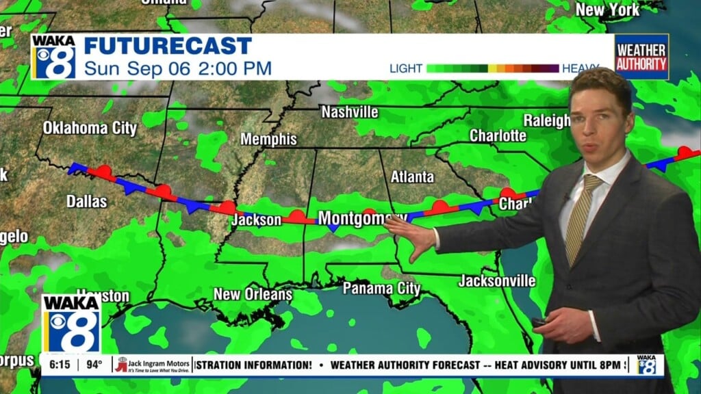
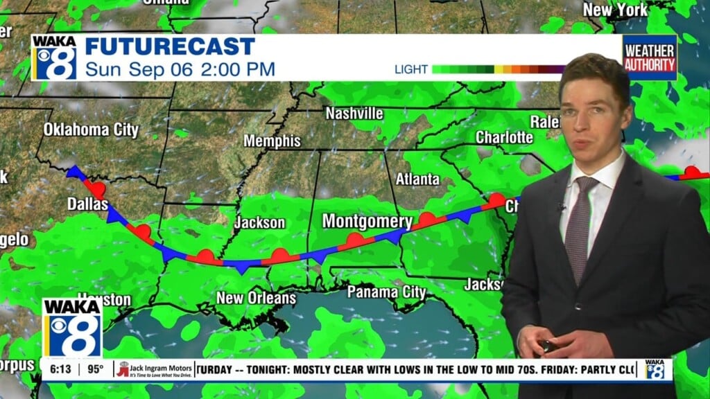
A frontal system passes through over the weekend. A few showers/t-storms can’t be ruled out with the frontal passage Saturday afternoon. High pressure will build in behind the frontal passage and we’re back into another fairly quiet weather pattern Sunday through most of next week. Looks like a partly cloudy sky with temps topping out in the mid to upper…
Summer heat is still in play and we’re going to feel it the next couple of days! We’re facing some 90+ degree heat and Friday and Saturday. Rain chances are low but a frontal boundary may trigger scattered showers or t-storms over some the weekend. In the meantime, we’re expecting a mostly clear sky around the area tonight. Temps will…
We continue in a fairly quiet weather pattern for now. Rain chances will remain low but the heat will be ramping up as go into the latter half of the week. We’re facing some 90+ degree heat starting Thursday and continuing into the upcoming weekend. In the meantime, we’re expecting a partly cloudy sky around the area tonight. Temps will…
It looks like we have entered into a fairly quiet weather pattern for several days this week. Rain chances will remain low but the heat will be ramping up as the week progresses. We’re facing some 90+ degree heat starting Thursday and continuing into the upcoming weekend. In the meantime, we’re expecting a partly cloudy sky around the area tonight….
90+ degree heat will be returning soon!