Several More Rounds Of Rain And Storms Ahead
Daily rounds of showers and t-storms are expected this week. Some storms could be strong to possibly severe!
Daily rounds of showers and t-storms are expected this week. Some storms could be strong to possibly severe!
Some storms could be strong to possibly severe this weekend! Stay weather aware.
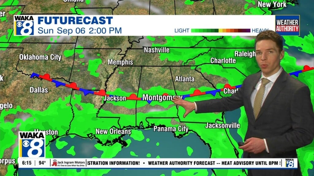
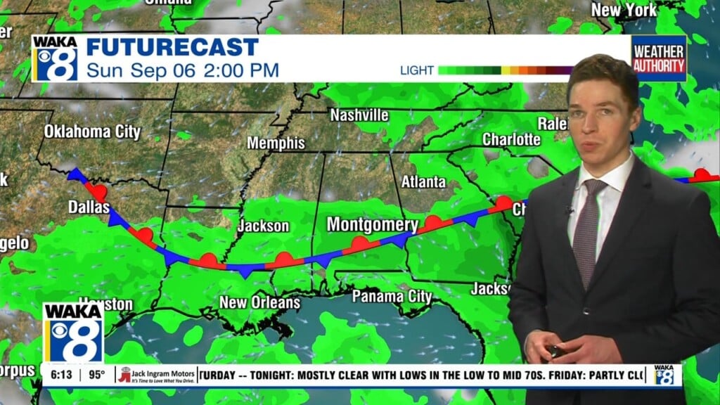
Scattered showers or t-storms will be possible both Saturday and Sunday. Our weather will be trending wet Monday through the middle of next week.
Less humid air will briefly settle over our area late week.
Some storms will be capable of damaging wind gust up to 70 mph, large hail, and a few tornadoes.
Rain and t-storms likely Tuesday night into early Wednesday
Temps will manage upper 80s to lower 90s for highs
Summer-like heat has made its way into the deep south. We’re expecting to reach the 90 degree mark over the next several days. A partly sunny sky along with southerly breezes will help temps to make the climb. Several spots will be reaching and even surpassing the 90 degree mark at times. In the meantime, we’re expecting low level moisture…
90+ degree heat will return and give us a summer-like feel to our weather.
Scattered showers and storms will be around through Tuesday but the remainder of the week will trend drier and much warmer!