Less Heat, Scattered Daytime Storms Throughout This Week
Daytime heat becomes more routine Independence day and beyond. High temperatures peak in the low to perhaps mid 90s on the fourth of July.
Heat indices will range between 105 to 115 late week
Heat indices reaching 105 to 110 this week!
We’re going to be trending drier and much warmer over the next several days. An area of low pressure responsible for some of the recent rains is moving away. High pressure takes its place and we’re looking at mainly sunny and dry days ahead. 90+ degree heat is likely Saturday and most all of next week. Summer has officially begun…
We’re slowly moving out of our rainy weather pattern and it’s going to be replaced by the heat. Summer is officially underway today and this weekend is going to feel every bit of it. Hot and humid conditions are on the way and you’re going to feel it. We expect 90+ degree heat and little if any showers to help…
Dry and much warmer days are ahead for us.
Signs are pointing to less storm activity late week!
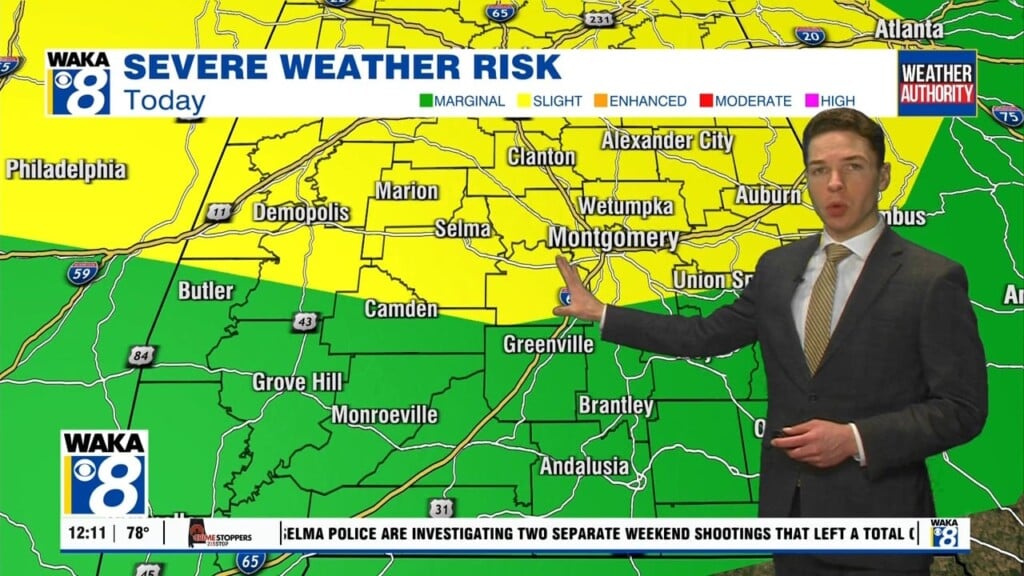
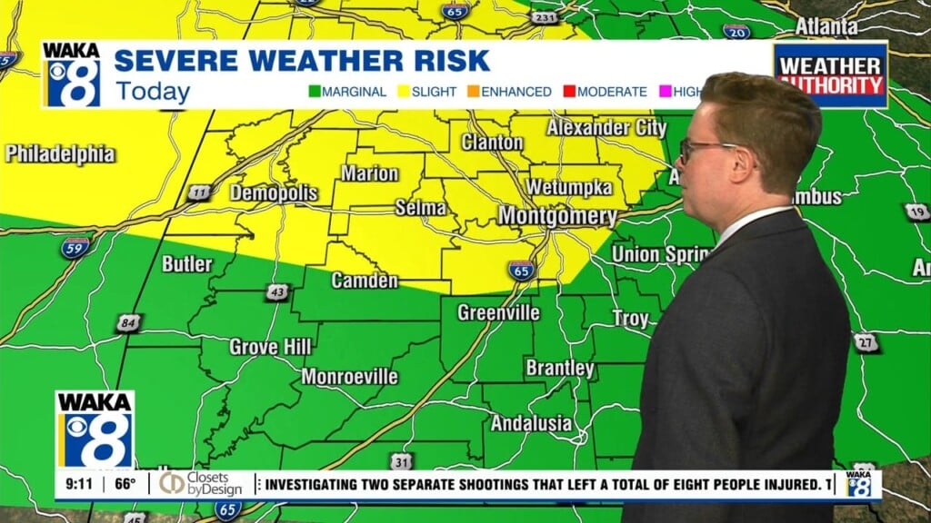
We remain in a weather pattern that is supportive of multiple waves of storms tracking through our area. It’s unusual for mid June and all indications are we have several more days of this ahead. Each new round of storms will be capable of producing damaging winds and large hail. A few tornadoes can’t be ruled out. We will all…
Some storms will be capable of damaging winds and large hail.
The threat for strong to severe storms continues for a couple more days