Strong To Severe Storms Still Possible Friday
We’re now in a slight risk and still threatened by storms capable of producing tornadoes, damaging winds and quarter size hail.
Another strong storm system will make its move toward the region later this week and we’re again in line for a severe storm threat. The severe storm risk will include: tornadoes, damaging winds and quarter size hail. Take the time now to review your families severe weather plan. In the meantime, there’s another day of nice weather coming our way…
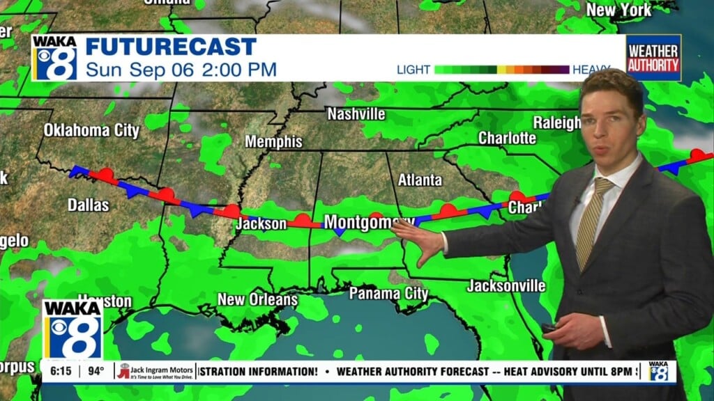
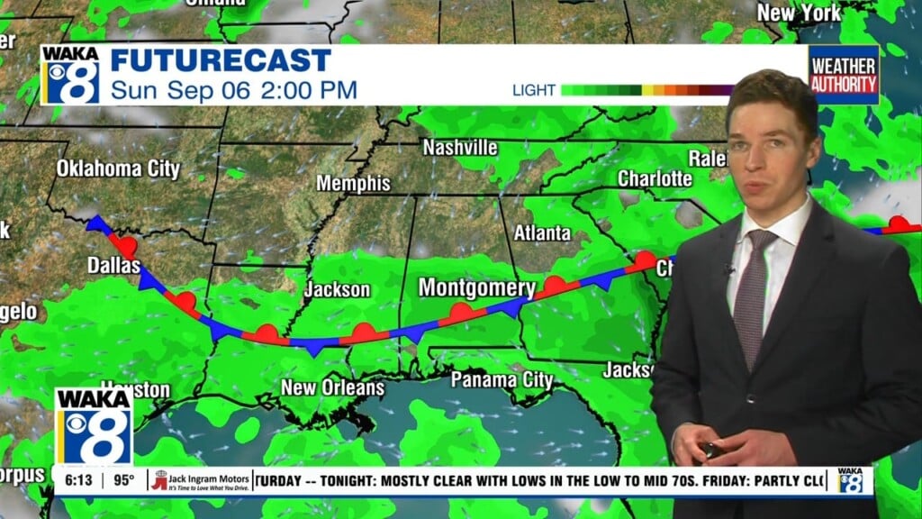
Dry for now but more rain heads our way late week.
The main threats will be a few brief tornadoes, damaging wind gust up to 60 mph, and very heavy rainfall.
A few rumbles of thunder along with gusty winds will be possible tonight.
Rain is likely Friday night into early Saturday morning.
Our first rain maker of the week is departing to our east tonight but we’re not drying out for long. An active weather pattern will bring us a couple more rounds of rain later this week and again early next week. It’s a classic El Nino setup that will keep the rain makers coming our way this winter. In the…
A few ice pellets possible at the onset of the precipitation in west Alabama.
A few rain makers heading our way this week
Colder air mass will return later this week.