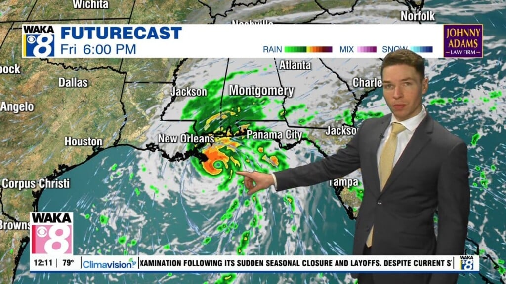
Isaias brings heavy rain, strong wind, tornado risk this weekend
At 1PM Wednesday, Isaias was a tropical storm with winds near 50 mph in the southwest gulf. The national hurricane center forecasts Isaias to strengthen into a hurricane, with winds near 105 mph Friday evening. The storm nears the MS/AL/NW FL coast Friday night, then moves inland near the MS/AL state line or through southwest Alabama through Saturday morning.
Wednesday afternoon remains mostly sunny with high temperatures in the mid 80s, low humidity, and an east to northeast breeze. Wednesday night looks mostly clear to partly cloudy with lows in the mid to upper 50s. Thursday looks dry, but clouds increase as Isaias organizes and moves toward the central gulf. High temperatures range from the low to mid 80s with an east to northeast breeze.