ACTION 8 CODE RED: New Tornado Watch until 3AM Sunday

ACTION 8 CODE RED: A new TORNADO WATCH is in effect until 3AM CDT on Sunday.
The counties in the watch are:
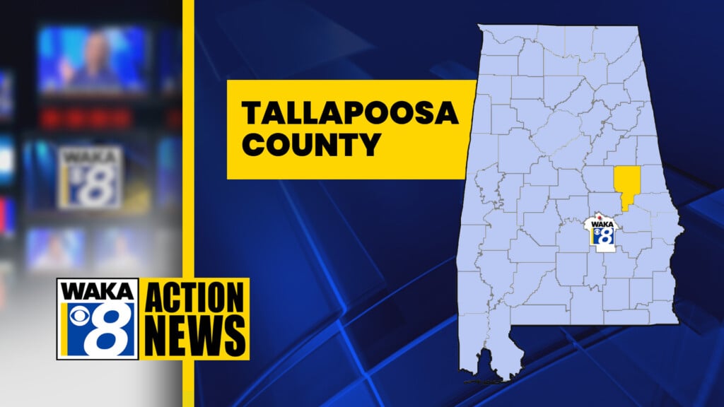
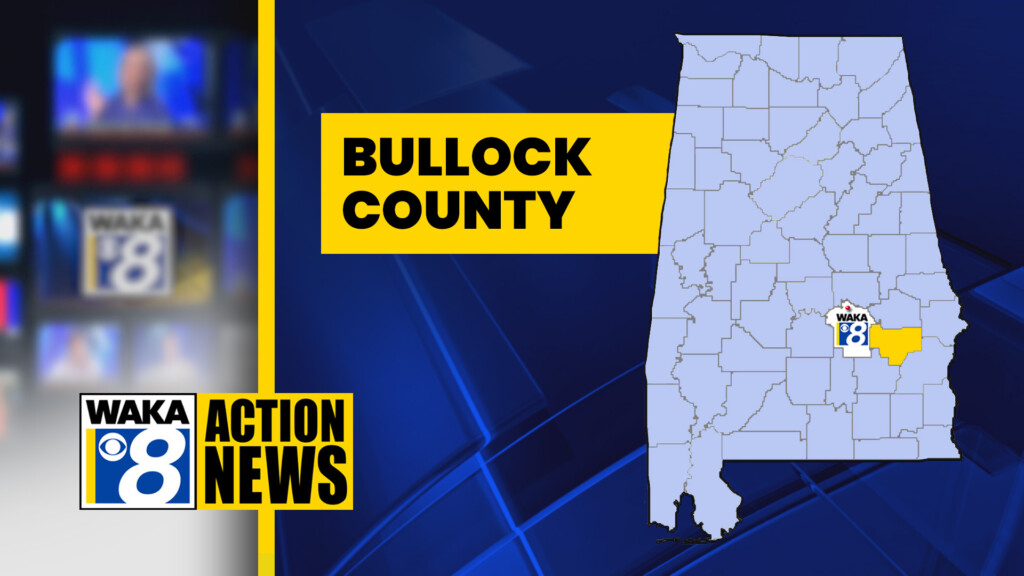
   AUTAUGA              BALDWIN             BARBOUR
   BIBB                 BLOUNT              BULLOCK
   BUTLER               CALHOUN             CHAMBERS
   CHEROKEE             CHILTON             CHOCTAW
   CLARKE               CLAY                CLEBURNE
   COFFEE               CONECUH             COOSA
   COVINGTON            CRENSHAW            DALE
   DALLAS               ELMORE              ESCAMBIA
   ETOWAH               GENEVA              HENRY
   HOUSTON              JEFFERSON           LEE
   LOWNDES              MACON               MARENGO
   MOBILE               MONROE              MONTGOMERY
   PERRY                PIKE                RANDOLPH
   RUSSELL              SHELBY              ST. CLAIR
   TALLADEGA            TALLAPOOSA          WASHINGTON
   WILCOX
The primary threats include: Several tornadoes and a couple of intense tornadoes are likely. Scattered large hail and isolated very large hail events to 2 inches in diameter are likely. Scattered damaging wind gusts to 70MPH are likely.
Severe thunderstorms will move northeast across the watch area through early Sunday morning. The primary risks will be tornadoes, a couple of which may be strong, damaging thunderstorm winds, and large hail.
CODE RED: Action 8 Chief Meteorologist Shane Butler has issued a CODE RED for the risk of tornadoes from today into early Sunday. A CODE RED means that there is a significant risk to public safety and to property because of dangerous weather conditions.

The Storm Prediction Center has issued a rare “high risk” (Level 5 out of 5) threat level for part of our viewing area, including Autauga, Chilton, Marengo and Perry counties westward as well as part of Dallas, Wilcox, Elmore and Coosa counties.
The rest of the area, including Montgomery and points east and south, are under a Moderate (Level 4 out of 5) threat level.
FIND YOUR COUNTY ON SEVERE WEATHER MAP
You will need to have a constant, reliable way to get weather alerts from now through the overnight hours on Sunday. There are a lot of weekend events in the area on Saturday, including the SLE Rodeo at Garrett Coliseum. Rodeo officials say the event will go on as scheduled, with Garrett Coliseum already designated as a storm shelter.
Wherever you are, don’t rely on outdoor sirens.
Now is the time to prepare. First, download the free Action 8 weather app:
iPhone – Android
Next, make sure you have more than one way to get weather alerts. A NOAA weather radio in addition to your phone (with your emergency alerts turned on) make for a good combination. Do not depend on sirens to keep you protected.
Know where to go inside your home if severe weather is imminent. If you live in a mobile home, you need to find sturdy shelter somewhere else. Plan now for what you will do.
Action 8 News will bring you live coverage on-air, online and on your phone. We will be staffed around the clock until the severe weather threat passes.
Watches & Warnings
Live Interactive Radar
Exclusive WeatherSTEM – live conditions in Montgomery
Weather Authority: Twitter – Facebook
Weather Authority Web Page
Safe from the Storm – storm safety tips
Severe weather coverage on Action 8 News is sponsored by the Johnny Adams Law Firm.