Showers and Storms a Plenty
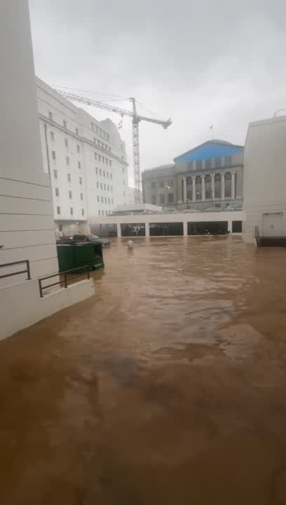
A broad surface low is along the Northern Gulf, combined with colder air aloft and a more unstable atmosphere, will set up a forecast that involves scattered to numerous showers and thunderstorms and that is exactly what we are going to see again today. By this afternoon, we are going to see an active radar with numerous showers and storms across Central Alabama. Storms will produce a lot of lightning, and with a very moisture-rich air mass in place, tropical downpours. Any storm will be capable of producing isolated flash flooding due to the excessive rainfall rates. Where it is not raining, we are seeing a mix of sun and clouds, with temperatures mainly in the 80s and a few lower 90s.
REST OF THE WORK WEEK: Showers and storms will occur on a daily basis through Friday. The highest coverage of rain will come during the afternoon and evening hours, but we can’t rule out late night or morning showers in this pattern as it is a very soupy air mass in place. Rainfall totals on average through Friday will be 1-3 inches for Central Alabama, however, some locations will receive more, while others may not see much at all. Summertime convection usually has a very uneven distribution of rainfall due to the scattered nature of the showers and storms, but many communities will see some beneficial summer rain this week. Locations along the immediate Gulf Coast may see upwards of 10+ inches. Because of the clouds and showers, temperatures will trend downward. Expect highs generally in the upper 80s tomorrow through Friday, which is below average for early and mid-August.
PERSEID METEOR OUTBURST: Do you love the Perseid meteor shower? This year, you will love it even more. Forecasters say the 2016 Perseids should be twice as active as usual, filling the sky with 200+ meteors per hour on peak nights between Aug. 11th and 13th. This is happening because Earth is heading for an unusually rich stream of debris from parent comet Swift-Tuttle.
WEEKEND SNEAK PEEK: Little change in the forecast as we are going to continue to see better than average rain chances into the week. Gulf moisture will still be in place across the state and a surface boundary looks to be approaching from the north, and we are going to leave the chance for widespread to numerous showers and storms in the forecast. Look for temperature in the upper 80s and lower 90s for highs and 70s for lows.
Have a terrific Tuesday!
Ryan