Author: Shane Butler

Keep The Rain Gear Handy This Week

A cloudy and rainy weather pattern is hanging around this week. Moisture continues to stream into the state leading to showers and storms. The clouds and rain activity will help hold the heat down just a bit with highs dropping back into the lower to mid 80s for a few days. It looks like this weather setup will stick around…

More Rain Activity Ahead This Week

Moisture continues to stream into the area and with the daytime heating we get afternoon showers and storms. We see the chance and coverage of rain activity to increase across the area this week. Showers could even develop earlier in the day and that will have an impact on temperatures. Highs will come down a bit due to clouds and…

Showers & Storms Each Day

A rather moist southerly flow will continue to transport moisture into the area this week. This will be the fuel for daily scattered afternoon showers and storms. Any storms that do develop will be capable of heavy rain, lightning, gusty winds, and hail. Thanks to the afternoon rain activity, highs temps will come down just a bit. It looks more…

The Heat Is On This Weekend !

A moisture rich and unstable air mass continues to support rain and storms this evening. Some storms will be capable of gusty winds and hail. Once the sun sets, most of the rain activity begins to weaken and die out. Overnight is looking mostly cloudy with fog developing in spots. The rest of the long holiday weekend is setting up…

Scattered Storms Along With 90+ Degree Heat

The old low pressure system to our north will begin to move out as high pressure builds over the deep south. This will begin the warming trend that plans to stick around through the longer holiday weekend. We’re going to get our share of sunshine and that will help send temps into the upper 80s to lower 90s for highs….

We’re Heading Towards 90+ Degree Heat

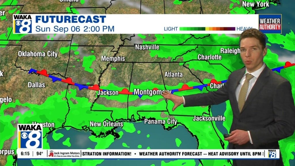
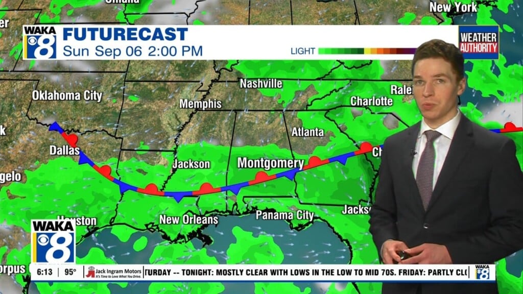
An upper level low pressure system to our north continues to have an impact on our weather and to our south a stationary boundary remains the focal point for rain and storms along the gulf coast region. Most of our area is sitting in between these two features and the weather conditions are fairly mild. The low will be moving…

A gradual warming trend with scattered afternoon showers and storms will be the setup going forward through the work week. An upper level disturbance is hanging over eastern TN and close enough to circulate lift for showers over areas just north of us. The circulation around the low is providing most of our area dry air for now. Mean while,…

Daily PM Showers or Storms

A frontal boundary will make its way across the state and exit to our east later tonight. This will push the rain activity into GA and allow drier air to spill into the state. We go back to a quieter weather pattern. The exception will be afternoon pop up showers or storms. This will be the case over the next…

Much Warmer Days Ahead

We’ve jumped right into a warm and dry weather pattern that shows signs of summer-like heat by the weekend. High pressure over the region is helping to keep us mainly sunny and dry. Of course a stray shower can’t be ruled out in this setup but most spots remain dry. Temps all around will be heading upward over the next…

Summer-Like Heat Ahead

Our recent cold snap is all done and now we shift into a much warmer weather pattern. High pressure over the deep south will keep skies mostly sunny and mainly rain free through the work week. Temps respond with lows only falling into the 60s and daytime highs in the mid to upper 80s. We eventually get into the 90s…