Sunshine, Warmer Tuesday; Rain, Storms Return Wednesday
Tuesday looks partly cloudy, rain-free, and warmer with highs in the mid to upper 70s. Rain and rumbles of thunder return to our area Wednesday.
Tuesday looks partly cloudy, rain-free, and warmer with highs in the mid to upper 70s. Rain and rumbles of thunder return to our area Wednesday.
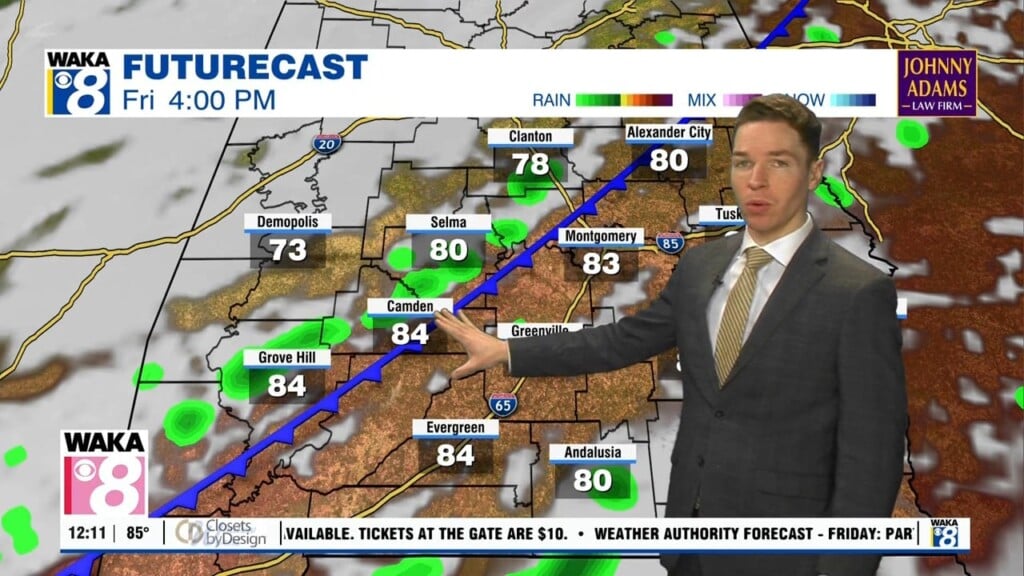
Even though clouds increase further Friday afternoon, the chance for rain remains very low through sunset. Despite a mostly cloudy afternoon sky, temperatures still warm into the low and mid 80s.
Wednesday afternoon remains mainly sunny with highs in the mid 80s. Wednesday night remains mainly clear and cool with lows in the low to mid 50s.
Temperatures peak near 80° area-wide Tuesday afternoon, while the sky remains mainly sunny. Tuesday night remains clear to mostly clear and cool with lows in the low 50s.
Additional storms may develop during the afternoon. If they do, a few of these storms could be strong to severe, capable of straight-line winds up to 60 mph and brief tornadoes.
Rain and storms appear likely throughout Thursday, arriving in multiple south-to-north moving waves. A few storms could be strong to severe, particularly during the afternoon and evening.
The sky remains mostly sunny to partly cloudy Tuesday afternoon as temperatures rise into the mid 70s. Tuesday night looks mostly clear and cool with lows near 50°.
The sky remains partly to mostly cloudy across our area on average Monday afternoon. Monday afternoon remains breezy with an east-northeast wind of 10 to 15 mph. Temperatures likely remain cool, with highs in the upper 60s to low 70s.
Rain coverage increases Friday night through Saturday morning. By Saturday morning, a steady soaking rain may overspread much of our area.
Thursday morning was fairly sunny across much of central and south Alabama. However, clouds may increase somewhat Thursday afternoon. Isolated to widely scattered showers and perhaps a few rumbles of thunder appear possible.